Key Features
- Multispectral: Capture detailed imagery across multiple wavelengths for precision agriculture, vegetation analysis, and environmental monitoring
- Photogrammetry: Create accurate 3D models and maps from aerial imagery for construction, urban planning, and land development
- Thermal: Detect heat signatures for infrastructure inspections, search and rescue, and energy audits
- Hyperspectral: Analyze fine spectral data for mineral exploration, crop health assessment, and environmental studies
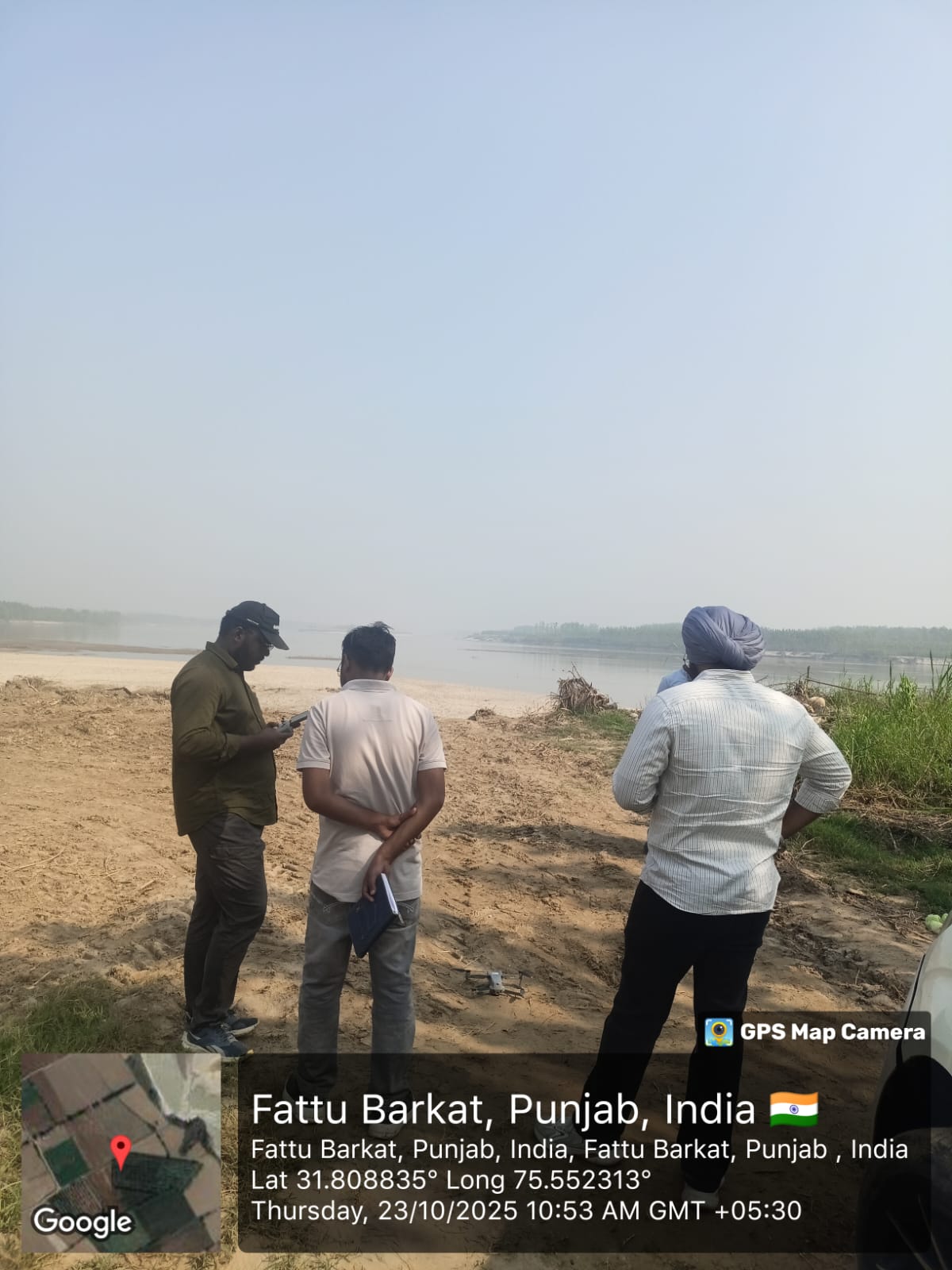
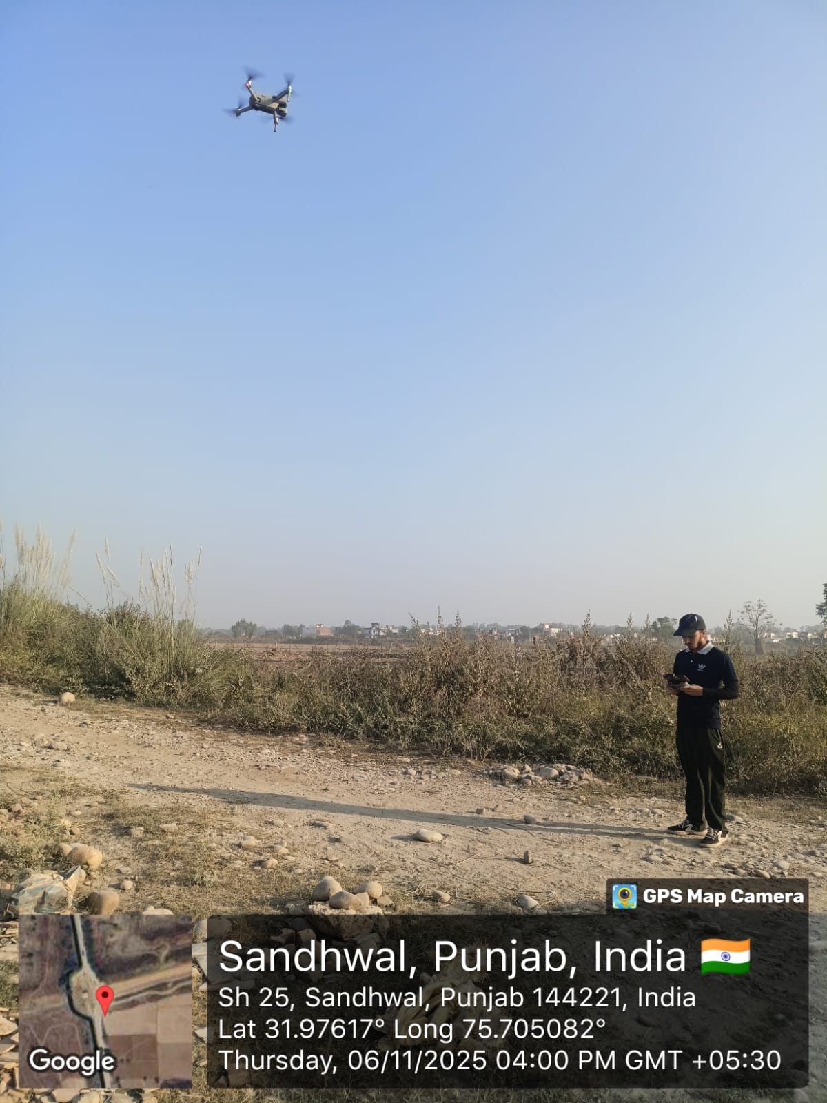
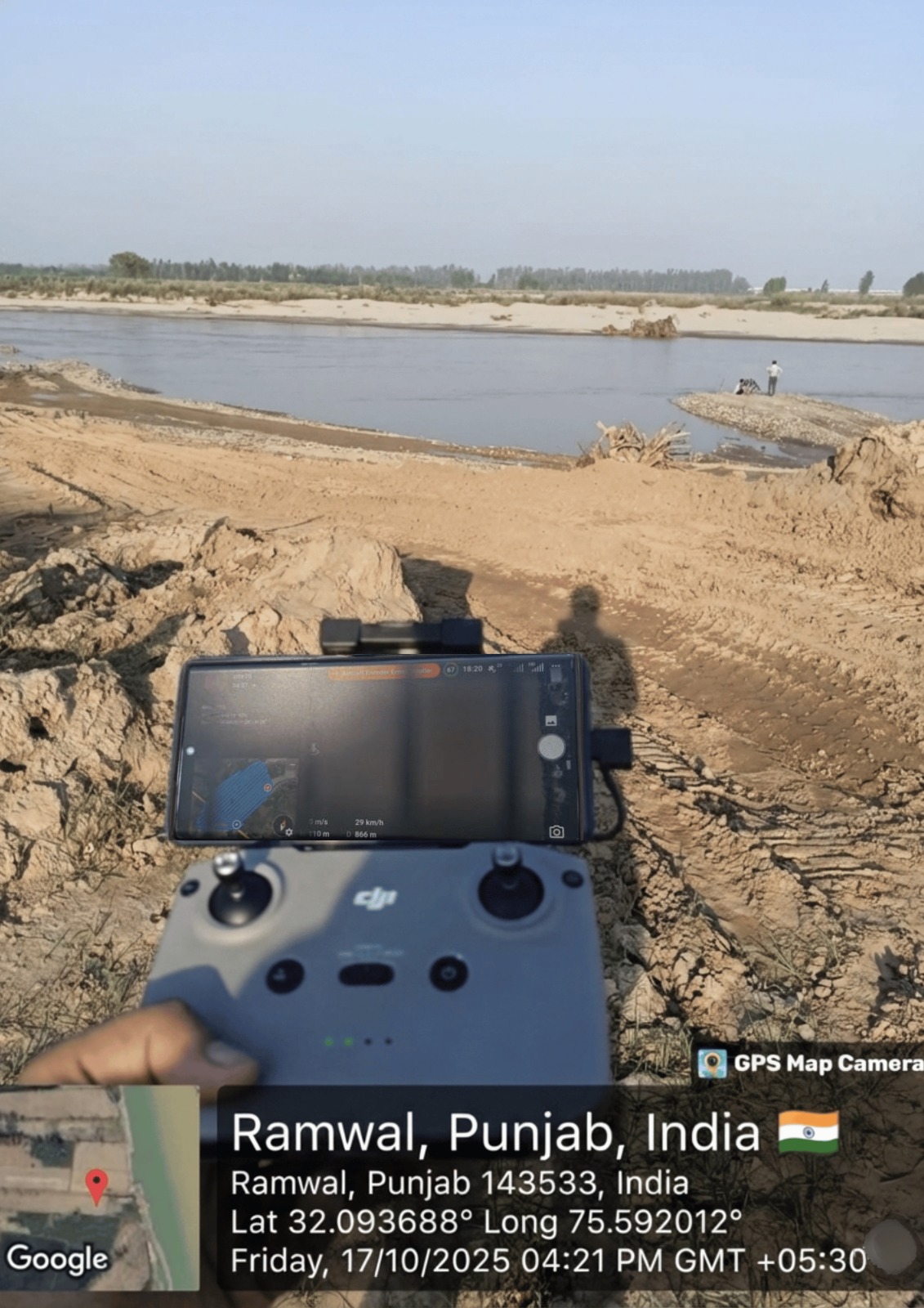
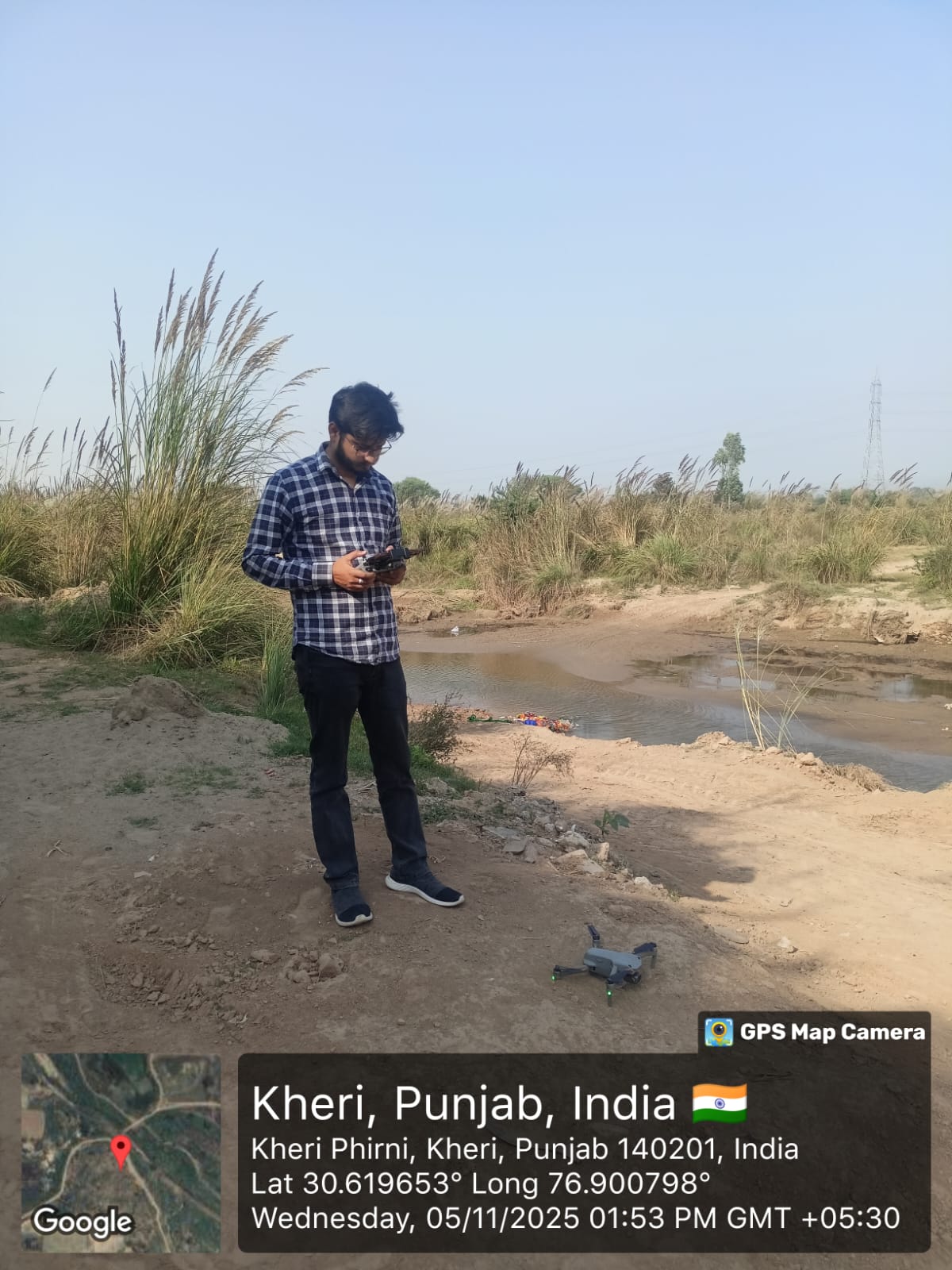
Relevant Works
Ready to Discuss Your Project?
Book a free consultation with our experts and get professional insights tailored to your needs.
📅 Book an Appointment© 2026 Sensrs. All rights reserved.