Key Features
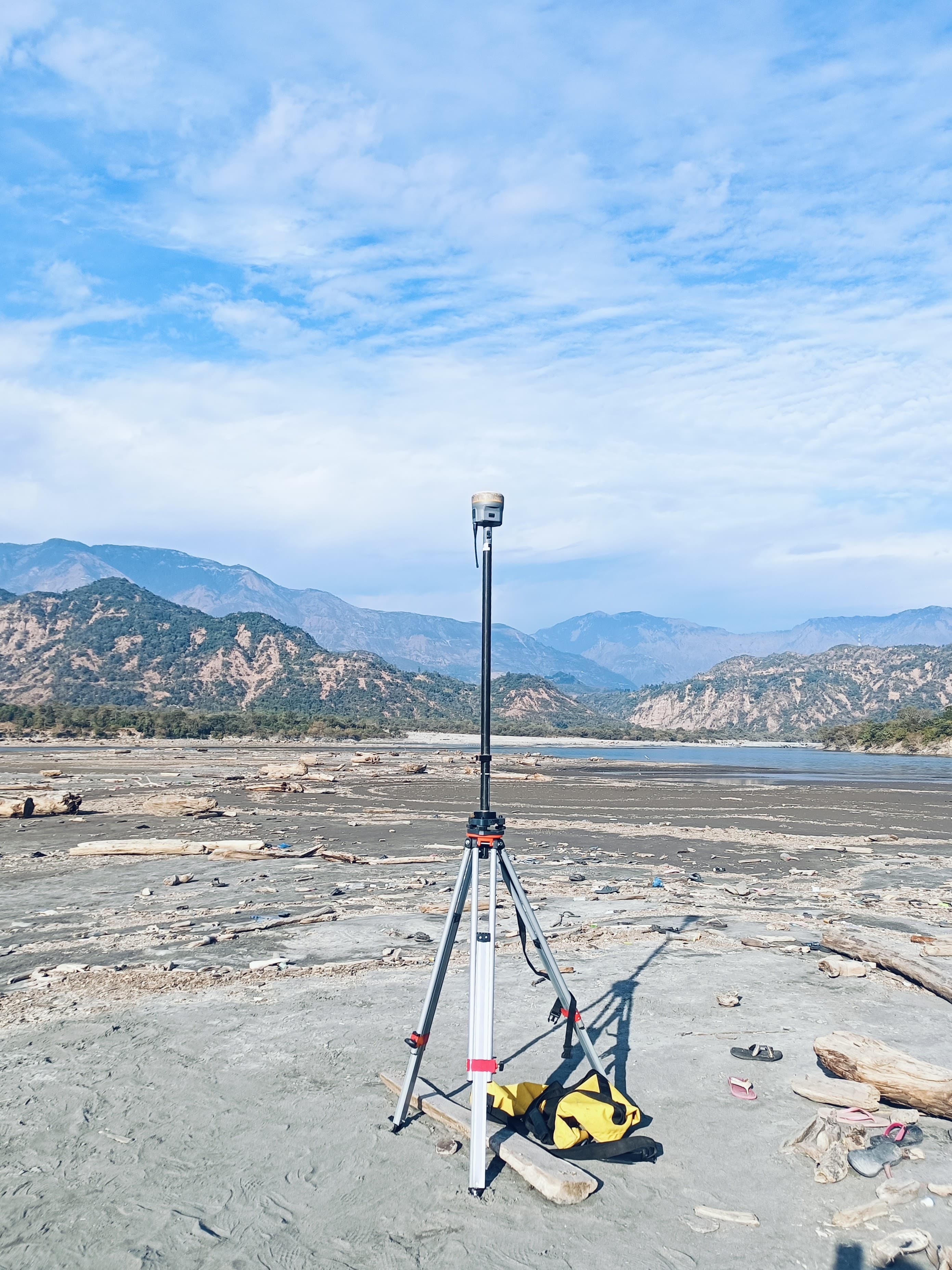
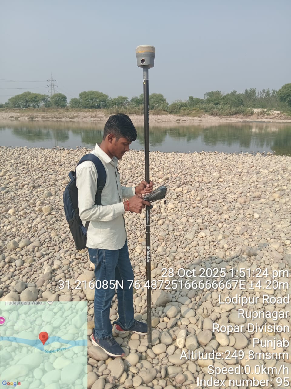
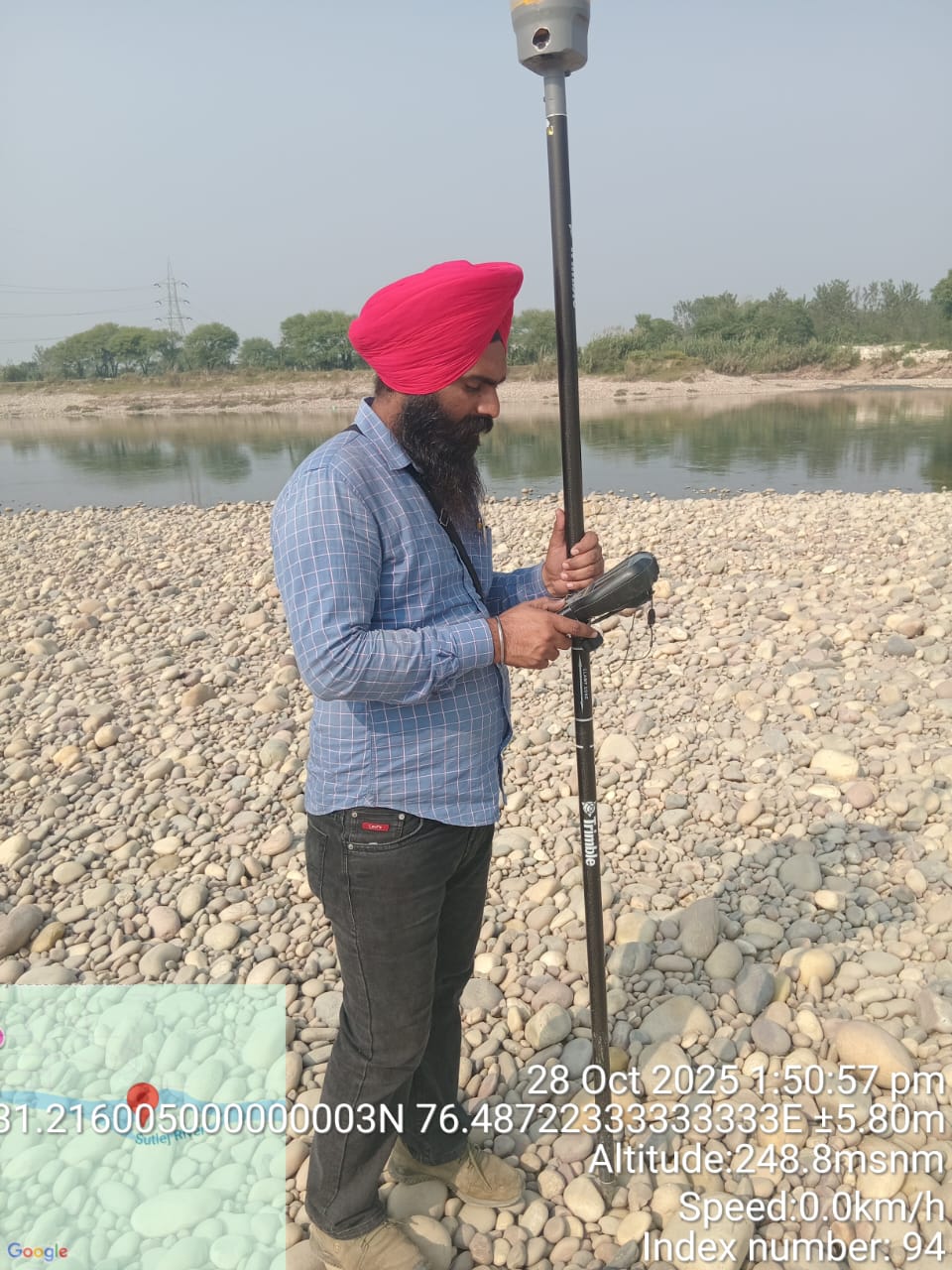
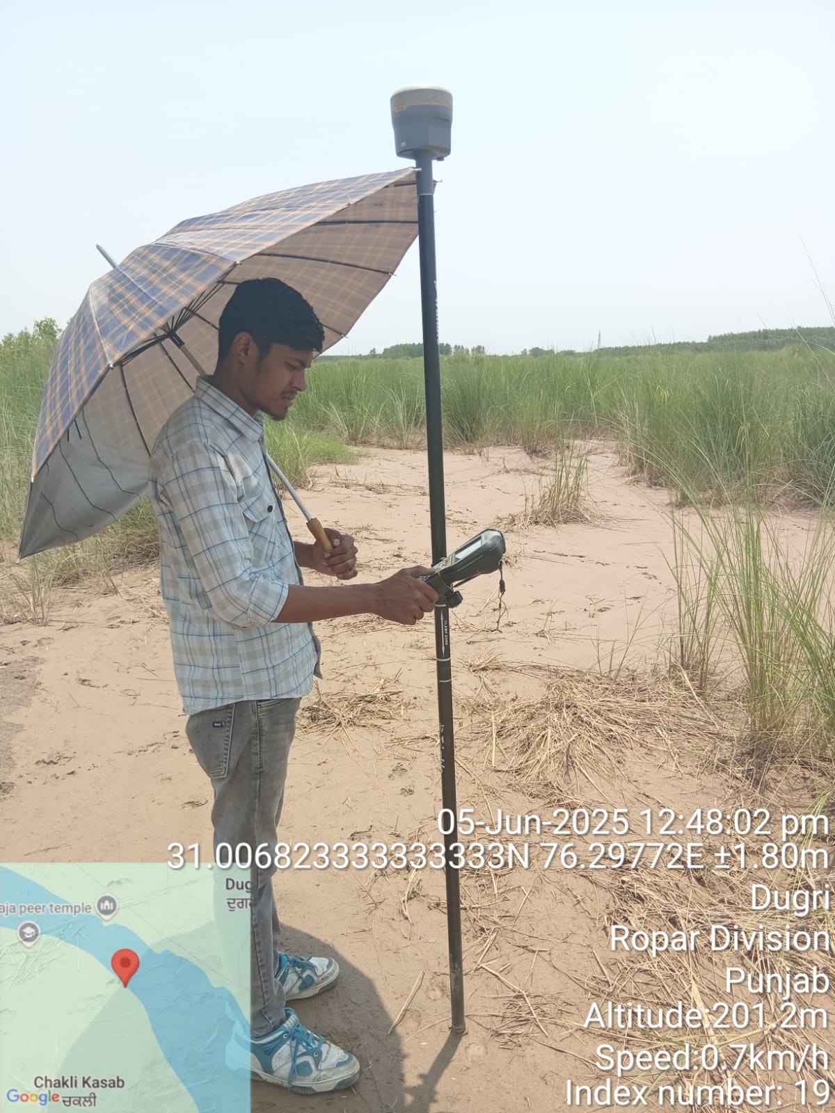
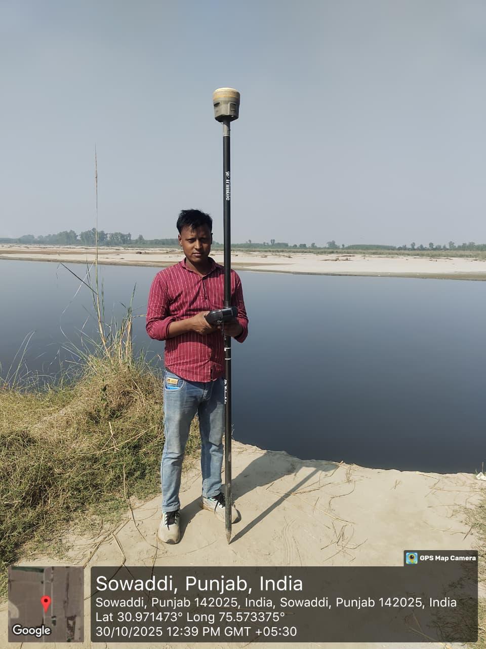
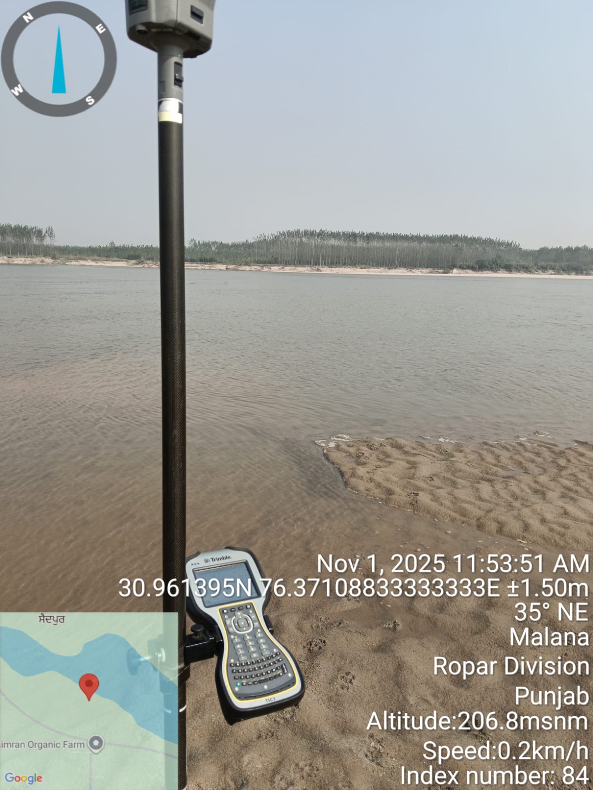
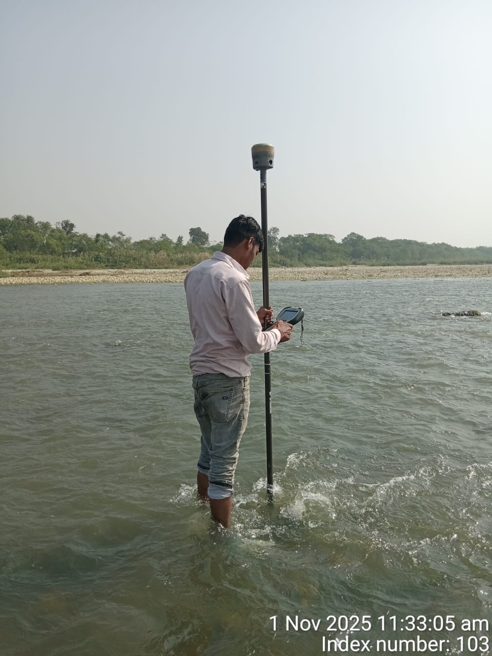
- Conduct Differential Global Positioning System surveys for centimeter-level accuracy in geospatial data collection
- Ideal for land surveying, boundary mapping, and infrastructure alignment projects
- High-precision positioning for construction, mining, and agricultural applications
- Real-time kinematic (RTK) and post-processing capabilities
Relevant Works
Ready to Discuss Your Project?
Book a free consultation with our experts and get professional insights tailored to your needs.
📅 Book an Appointment© 2026 Sensrs. All rights reserved.