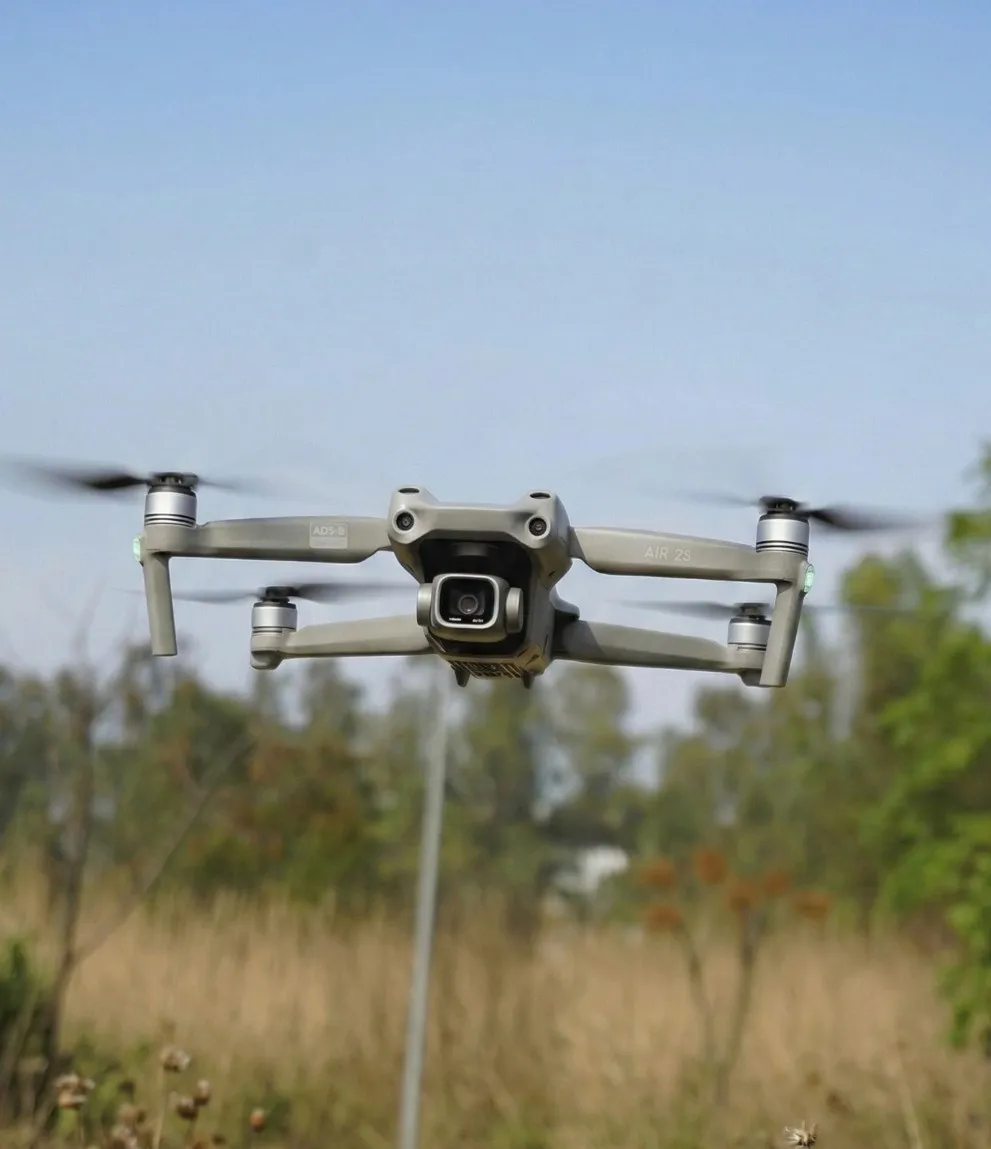
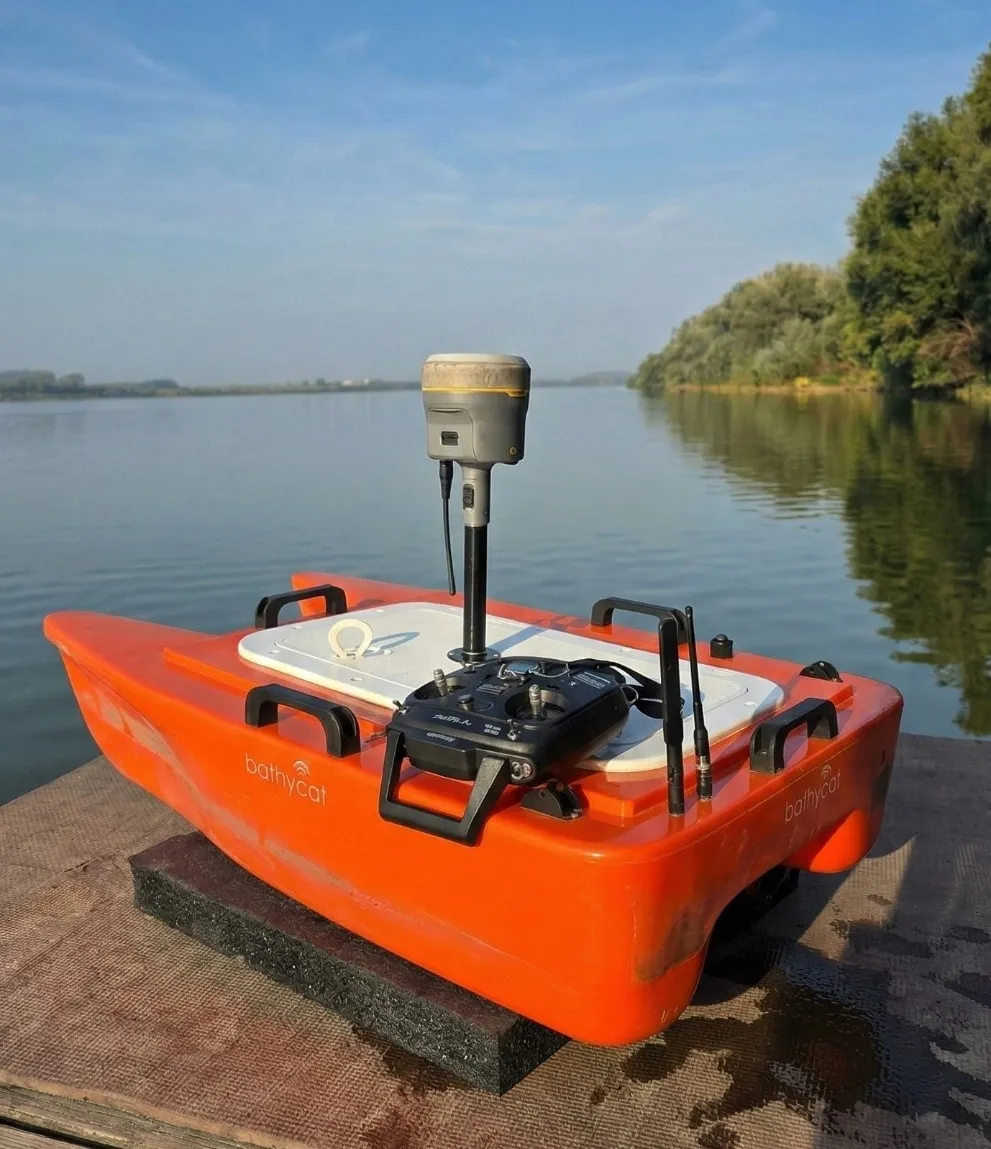
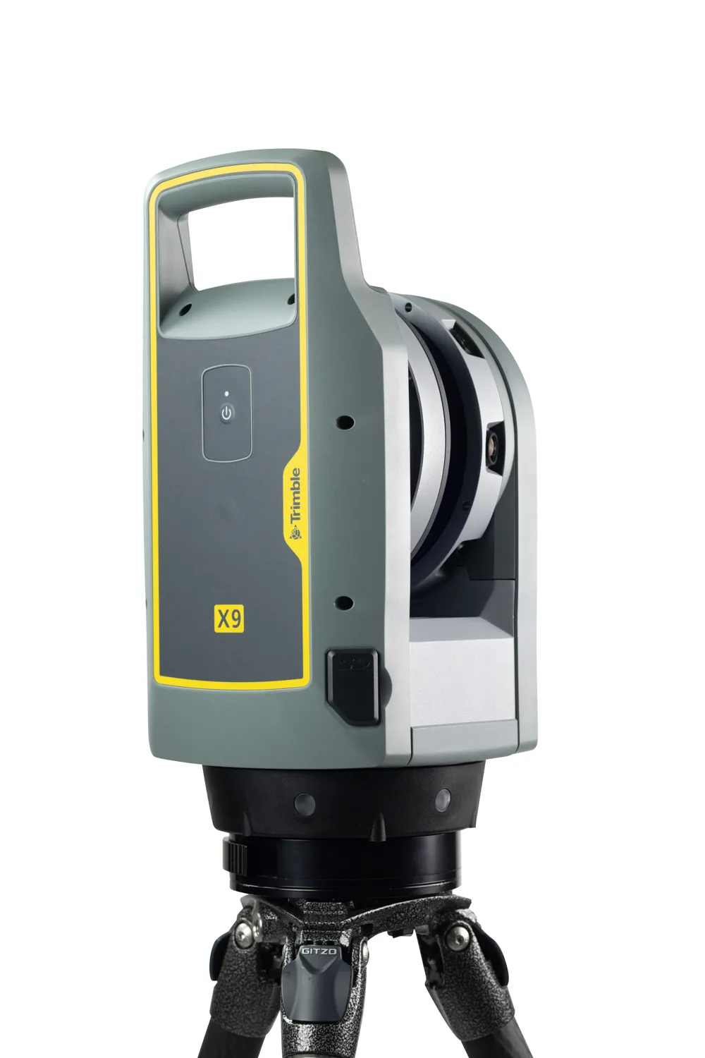
We specialize in high-precision geospatial and environmental surveys using advanced drone, GPS, and automation technologies.
Advanced Unmanned Aerial Vehicle surveying using multispectral, photogrammetry, thermal, and hyperspectral technology for comprehensive aerial data collection and analysis.
Read moreComprehensive environmental compliance audits and Detailed Site Reconnaissance services ensuring regulatory adherence and sustainable practices.
Read moreDifferential GPS surveying providing centimeter-level accuracy for precise positioning, land surveying, and geospatial data collection.
Read moreBook a free consultation with our experts and get professional insights tailored to your needs.
Book an Appointment© 2026 Sensrs. All rights reserved.