DGPS Surveying
Centimeter-accuracy with real-time RTK — for topographic mapping, dam surveys, infrastructure, and environmental monitoring.
High-Precision Survey Ecosystem
 (1).webp)
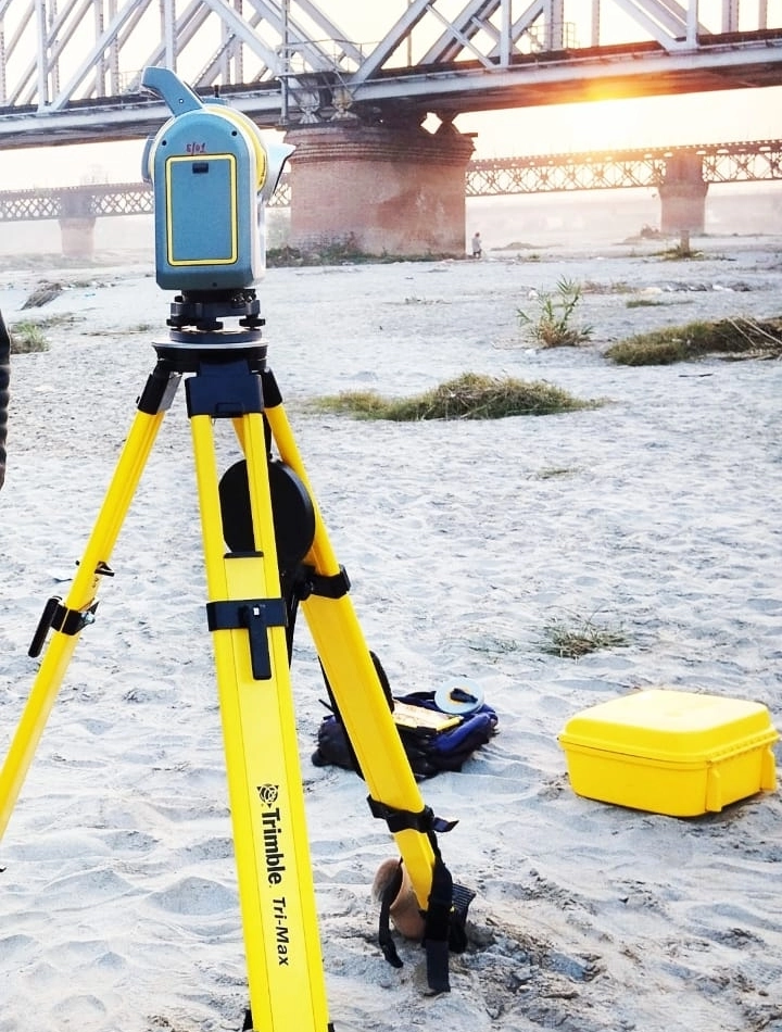
GNSS Base Station
A high-precision receiver mounted on a survey tripod is used for accurate geospatial data acquisition in field surveying operations. The receiver collects signals from multiple satellite constellations such as GPS, GLONASS, Galileo, and BeiDou to determine precise three-dimensional coordinates.
When configured as a DGPS base station, it calculates positional corrections and transmits them to rover receivers in real time, enabling centimeter-level positioning accuracy.
Trimble TSC3 Controller
The Trimble TSC3 Survey Controller is a rugged handheld data collector designed for professional GNSS and total station surveying operations. It operates with field software such as Trimble Access, enabling real-time data collection and management.
Built for demanding environments, the TSC3 features a sunlight-readable display, full keypad interface, and durable field-ready design, making it ideal for topographic mapping.
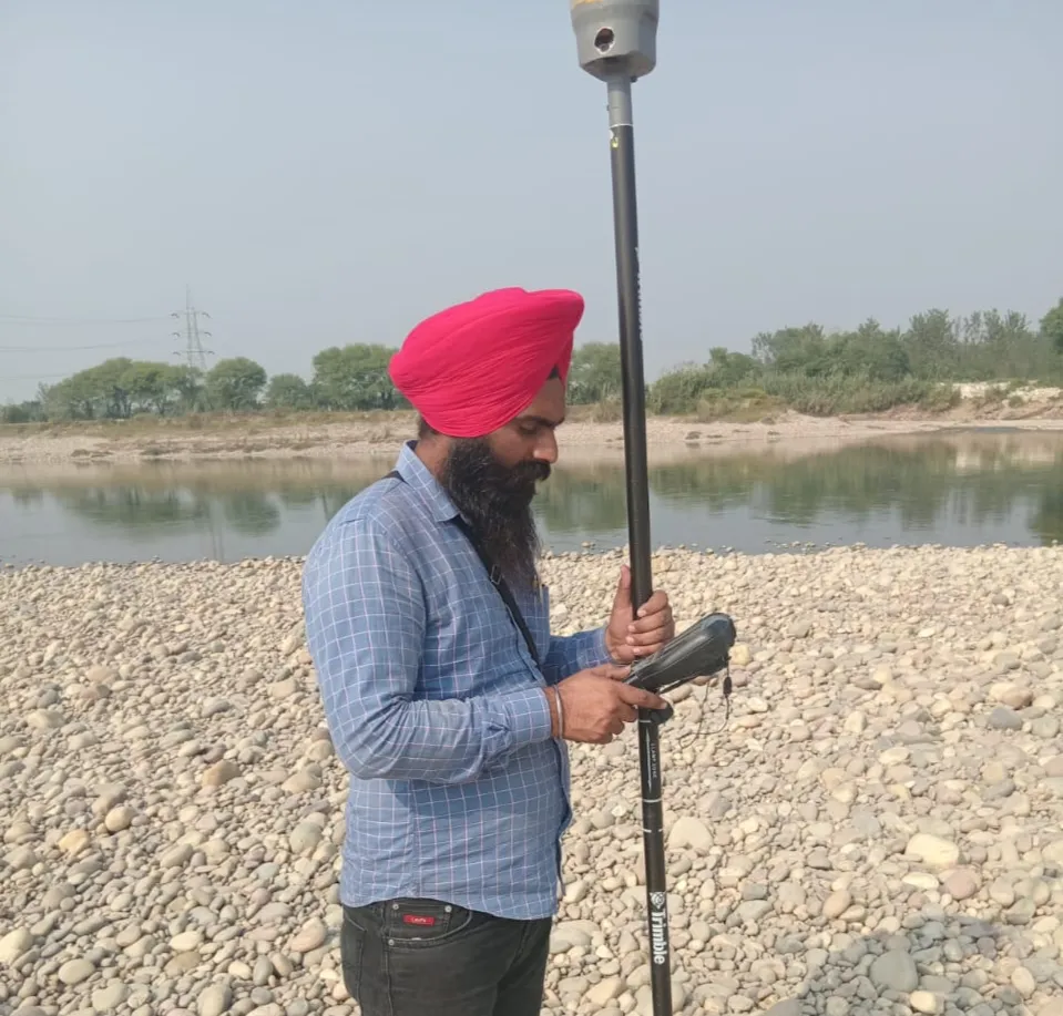
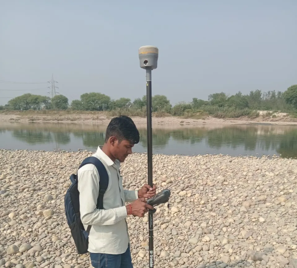
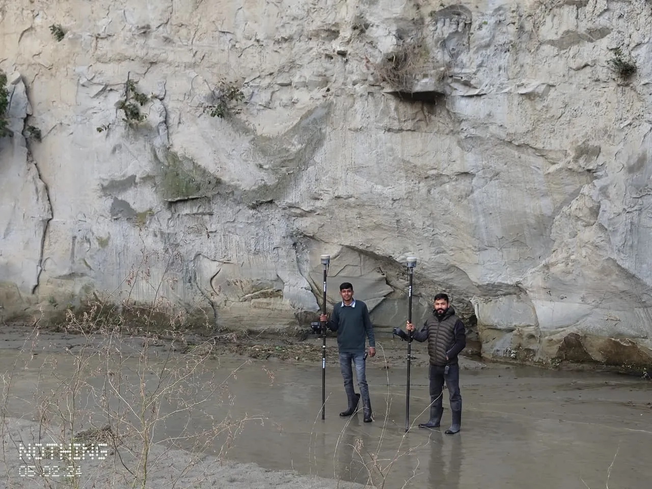
Trimble R10 Receiver
Trimble R10 is a high-precision GNSS receiver used in surveying to collect accurate geospatial positioning data. It receives signals from multiple constellations enabling precise determination of 3D coordinates in real time.
Equipped with advanced multi-frequency signal tracking and a rugged field-ready design, it delivers centimeter-level positioning accuracy for topographic and reservoir surveys.
DGPS Operational Strategy
Our DGPS surveying methodology centers on achieving absolute spatial precision using a network of high-frequency GNSS receivers. By establishing a fixed base station on a known geodetic control point, we compute and broadcast real-time differential corrections (RTK) to mobile rover units, eliminating satellite-derived errors and atmospheric interference.
This dual-receiver architecture ensures that every captured coordinate—whether for topographic mapping, dam structural monitoring, or highway corridor alignment—maintains centimeter-level accuracy. The seamless integration between field data collectors and advanced post-processing software allows us to deliver high-resolution DEMs, contour maps, and GIS layers that form the foundation of critical engineering and environmental assessments.
Technical Capabilities
Field Operations Workflow
Base Setup
Establishment of GNSS base station on a known control point for real-time corrections.
.webp)
Network Lock
Initializing satellite constellations and establishing UHF/NTRIP communication links.
.webp)
Data Collection
Capturing high-precision topographic coordinates and elevation data in the field.
Quality Control
Validating coordinates through redundant observations and known control points.
Training & Capacity Building
GNSS Framework
Practical GNSS field training session covering setup, constellation locking, and base configuration.
.webp)
RTK Surveying
Hands-on RTK surveying workshop focusing on rover operations and real-time stakeouts.
 (1).webp)
Post-Processing
Advanced software post-processing training (PPK) for baseline adjustment and data validation.
Domain Applications
Common Questions
Ready to Discuss Your Project?
Book a free consultation with our DGPS Survey experts and get professional insights tailored to your needs.
Book an Appointment